
The First North Carolina State Fair
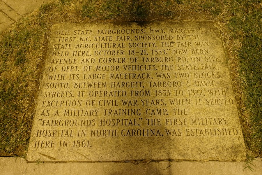
The inscription on the marker reads:
First NC State Fair sponsored by the state agricultural society the fair was held here, October 18-21, 1853. New Bern Avenue and corner of Tarboro Road on site of Dept. of Motor Vehicles. The state fair, with its large racetrack, was two blocks south, between Hargett, Tarboro, and Davie Streets. It operated from 1853 to 1872, with exception of Civil War years, when it served as a millitary training camp. The “Fairgrounds Hospital”, the first millitary hospital in North Carolina, was established here in 1861.
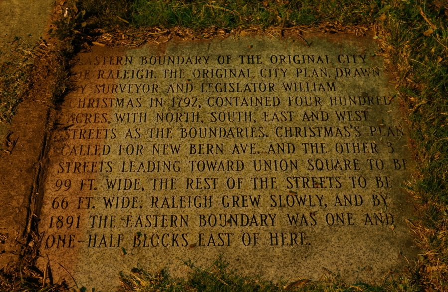
This is the second sidewalk marker covered on this blog. The first was Raleigh At Four Hundred Acres. The second location of the North Carolina state fair was located on the present day location of Fairmont Methodist Church and Horse Track Alley.
 Like us on Facebook
 Follow us on Twitter
 Subscribe to RSS feed
 Subscribe to posts by Email
 Sign up for the Newsletter